- Inicio
-
Conozca Dimar
- Información general
- Marina mercante
-
Internacional
- Asociación internacional de infraestructuras del transporte acuático- PIANC
- Convenios OMI (Organización Marítima Internacional)
- Derecho del mar y marítimo internacional
- Organización Hidrográfica Internacional (OHI)
- Organizaciones Internacionales
- Organización Marítima Internacional
- Red de Mujeres de Autoridades Marítimas de Latinoamérica (MAMLa)
- Seguridad marítima y portuaria
- Desarrollo marítimo
- Regionales
- Transparencia
-
Estadísticas
- Lanzamiento Economía del Mar
- Economía del mar
- Operaciones estadísticas
- Registros administrativos
- Publicaciones estadísticas
- Catálogo de datos
- Plan estadístico institucional
- Boletines sector marítimo
- Repositorio digital marítimo, fluvial y costero
- Centro colombiano de datos oceanográficos
- Servicio al Ciudadano
- Participa
- Contenido Jurídico
- Prensa
- Galeón San Jose
- Dimar avanza
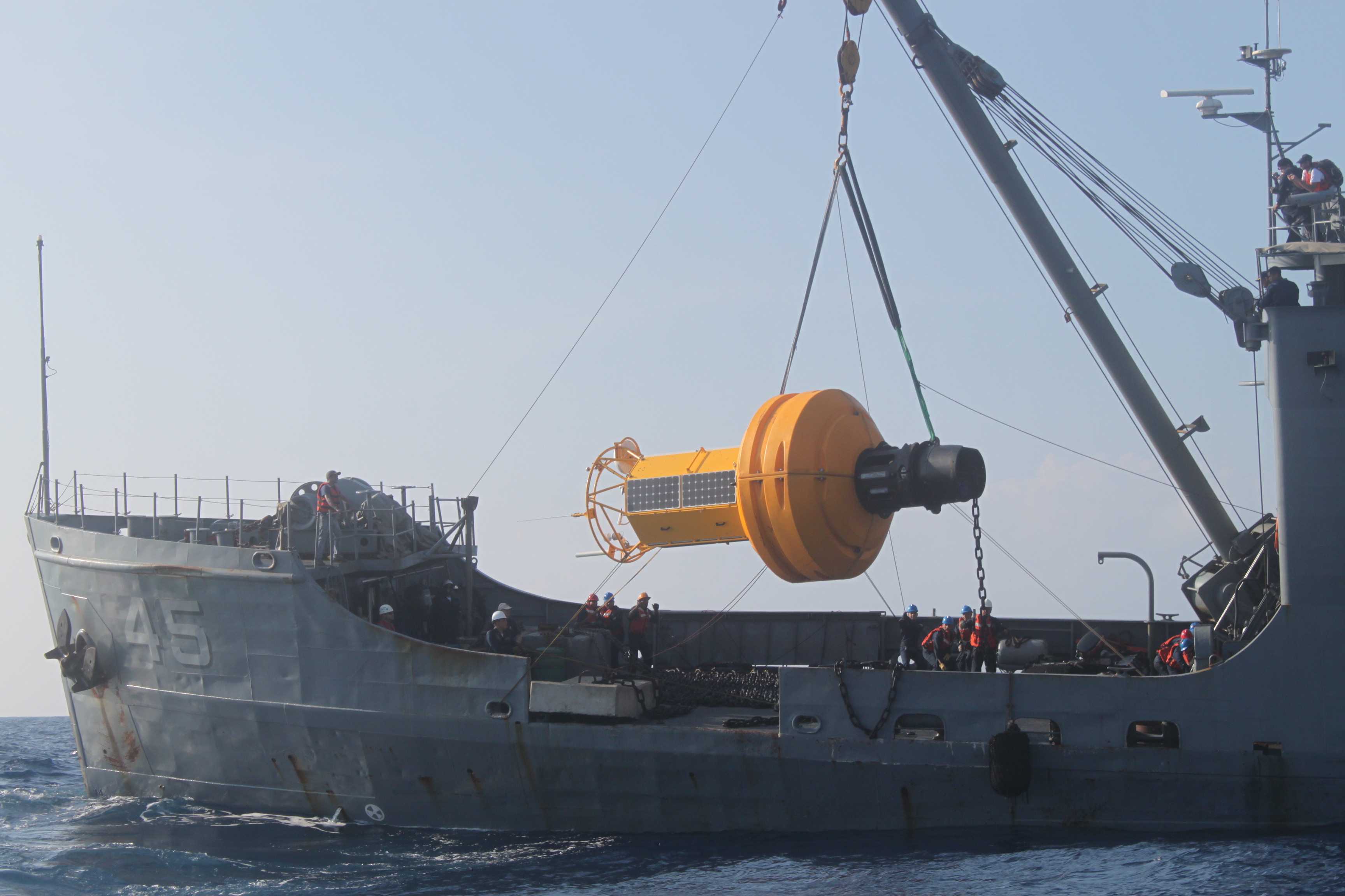
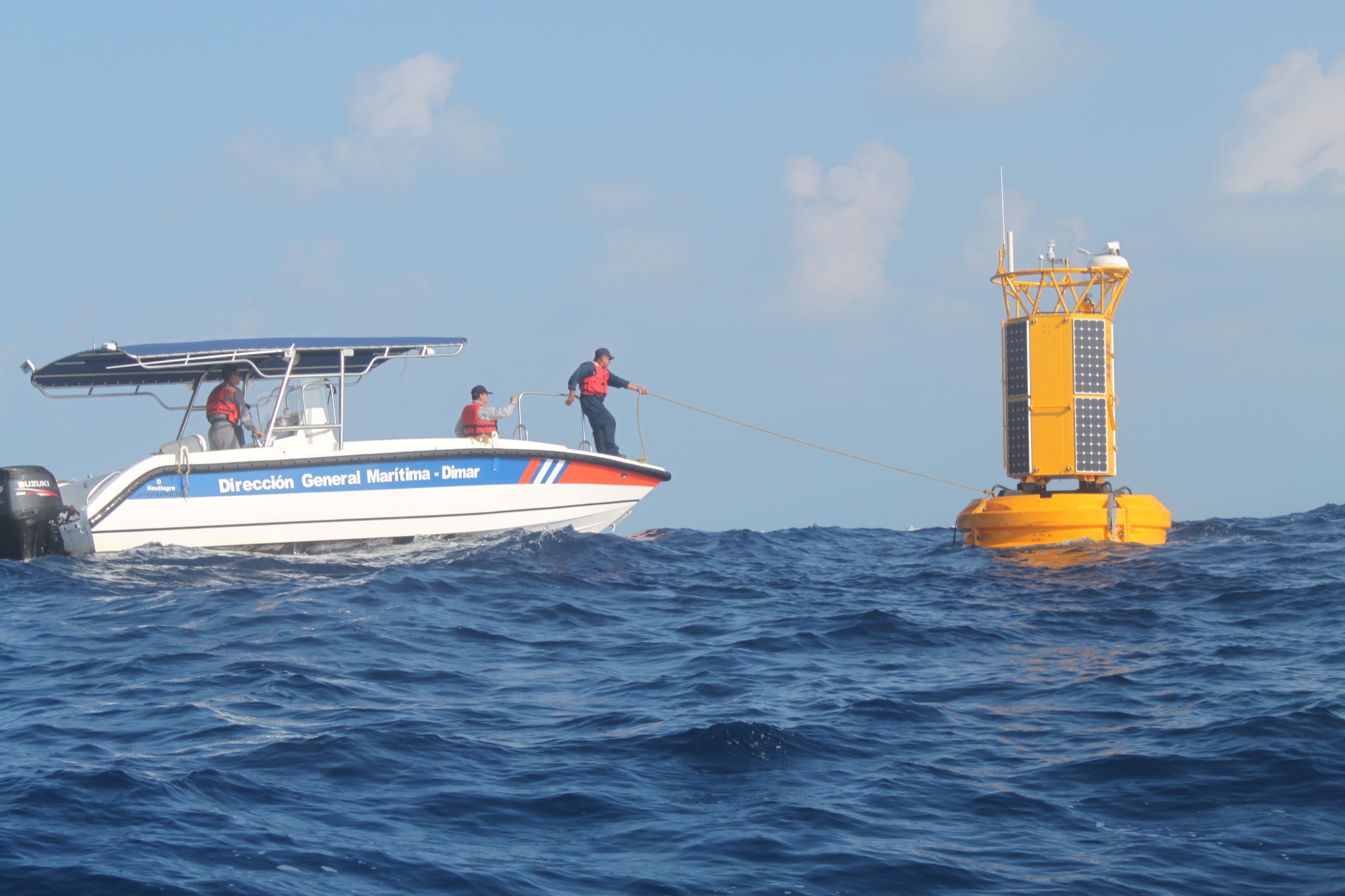
Dimar Anchored Metocean Buoy in San Andrés
Last Monday, a buoy was anchored near the access channel to the port of San Andrés in order to get data on oceanographic and weather conditions.


